At a glance
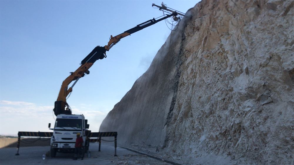
Three kinds of rock, three kinds of failure
The ophiolite is dark, dense and fractured; serpentinised zones weather quickly and release large angular blocks — one to ten cubic metres is not unusual — so the energies at a road are high and the barrier class follows. The Hawasina sediments are the opposite problem: thin-bedded chert, limestone and shale that ravel continuously in small pieces, which no barrier catches economically and mesh does. The platform limestones of Jebel Akhdar and Jebel Shams fail along bedding and karst-widened joints as slabs and wedges, most visibly on the road cuts of the Birkat Al Mawz–Saiq and Al Hamra–Jebel Shams climbs.
Muscat's urban rock cuts
In Muttrah, Ruwi, Qurum and Bausher, buildings and roads stand directly against faces cut into ophiolite decades ago. Daily heating and the occasional heavy rain loosen them a block at a time. The usual answer is scaling followed by anchored high-tensile mesh, with shotcrete only where a footing or a weak zone needs it — installed from ropes, often at night, and specified for appearance as much as capacity (Anchored high-tensile mesh: how slope stabilization works (EAD 230025), Slope and rock scaling: methods, measurement first, acceptance).
Wadis and flash floods
Storms on the range arrive in the wadis as debris flows: rock, gravel and mud moving at destructive speed through crossings and along wadi roads. Cyclone Gonu in June 2007 showed what that means for Wadi Adai and the Amerat road. Flexible debris-flow barriers across the channel retain the solids while the water passes (Debris-flow barriers: how they work and what we measure); where a corridor is critical, a monitoring baseline lets movement be measured before it becomes failure (Slope survey: drone photogrammetry and laser scanning).
Systems that fit
- Flexible barriers of 1,000 to 5,000 kJ above highway and mountain-road cuts in ophiolite (rockfall barriers).
- Drape mesh on ravelling Hawasina faces; anchored mesh with rock bolts on urban cuts and loose zones (slope stabilization).
- Debris-flow barriers at wadi crossings and fan heads (debris-flow control).
- Scaling and hydraulic splitting for oversize blocks where blasting is not allowed near roads and buildings (hydraulic rock splitting).
- Laser-scan and photogrammetry baselines on expressway cuts and above settlements (monitoring).
What to ask a contractor in the Hajar
- Which rock family the cut is in — it decides barrier against mesh before any calculation (Rockfall protection: flexible barrier or drape mesh?).
- The measured design block, not an assumed one: a scaling survey or photographs with scale.
- The energy class from a trajectory model on the surveyed section (How to choose the energy class of a rockfall barrier).
- For urban cuts, how the face will look after the works and how the mesh will be inspected from the ground.
Sources
- Geological maps of the Sultanate of Oman, Ministry of Energy and Minerals (1:250,000 series).
- Published accounts of Cyclone Gonu (June 2007) flooding in Muscat governorate.