At a glance
Why the khareef moves slopes
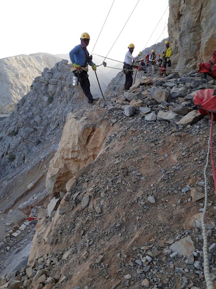
The escarpment is limestone over marl. Monsoon rain and fog-drip enter through karst and joints, the marl beneath softens and swells, and the ledges above lose their support — slabs fall from the limestone and the soil slopes below creep and slump. The volumes are not large by Hajar standards; what is different is that it happens every year, in fog, on roads that are busy with visitors exactly then.
Roads that carry the problem
The Salalah–Thumrait road climbs Jabal Qara through cut slopes in exactly this rock. To the west the Mughsail–Sarfait road follows the coast beneath the escarpment; to the east the Mirbat–Sadah road and the 80 km cliff road from Hasik to Shuwaymiyah, opened in 2015, run under the faces of Jabal Samhan. Each carries a mix of the same three hazards — ledge rockfall, saturated slumps and wadi debris — in different proportions.
Systems that fit
- Drainage first: anchored mesh with drainage behind it, weep holes through any shotcrete, and no sealed facing over marl that must drain (slope stabilization, Anchored high-tensile mesh: how slope stabilization works (EAD 230025)).
- Flexible barriers of 500 to 3,000 kJ under limestone ledges above the roads (rockfall barriers).
- Shallow-landslide and debris-flow barriers where a saturated slope or a wadi discharges onto a road (Debris-flow barriers: how they work and what we measure).
- Scaling after every khareef, before the season's loosened rock falls on its own (Slope and rock scaling: methods, measurement first, acceptance).
- Hydroseeding and erosion mats — Dhofar's own vegetation returns fast and binds the surface (revegetation).
Timing and corrosion
Heavy works are scheduled for the dry months; the useful inspection is in September, when the season's damage is visible and the next dry window is ahead (Rockfall barrier inspection and maintenance: checklist). Humidity and, on the coast, salt spray put components in a high corrosion category — the coating class is written into the specification, not left to the supplier.
What to ask a contractor in Dhofar
- How the design drains the marl — a facing without drainage makes the problem worse.
- Whether the protection is dimensioned for the saturated case, not the dry one.
- A scaling and inspection plan tied to the khareef calendar.
- The corrosion class of every component for a humid, coastal site.
Sources
- Geological maps of the Sultanate of Oman, Ministry of Energy and Minerals (1:250,000 series).
- Oman Ministry of Transport, Communications and Information Technology road network data (Hasik–Shuwaymiyah road, opened 2015).